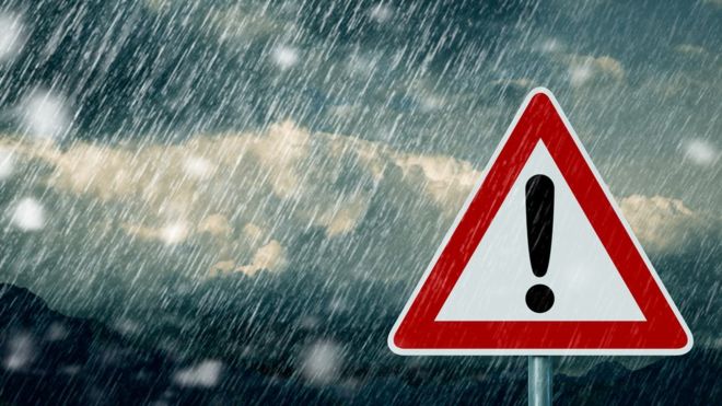
Israel is bracing for the next winter storm, one that promises to bring several consecutive days of colder temperatures, high wind gusts, scattered showers and thundershowers. Flood warnings are in effect for flood-prone areas.
Tuesday began with partly cloudy skies and a decrease in temperatures. Winds will increase in intensity during the course of the day, and the rainfall will begin in the north and gradually increase in intensity and work its way towards the Negev region.
Some of forecasted temperatures for Tuesday night and Wednesday.
Jerusalem 9-16C (48-60F), Tel Aviv 14-21 (57-69), Haifa 13-18 (55-64), Be’er Sheva 13-21 (55-69), Tiveria 11-22 (51-71), Tzefas 6-14 (42-57) and Kiryat Shmona 10-20 (50-68).
Sporadic rainfall is expected from Wednesday accompanied by occasional thundershowers in northern Israel. The rainfall will gradually move to the center and continue on Thursday, accompanied by strong wind gusts and haze. There will be sandstorms in southern areas and snowfall with accumulations on Mount Hermon on the Golan Heights. Flood warnings will be in place along the coastal areas along with the Judean desert and Dead Sea areas. It will be unseasonably cold.
Friday is predicted to be another day of unseasonably cold temperatures, and thundershowers from the north to the northern Negev. Flood warnings will remain in effect in flood-prone areas. The rain will taper off during the afternoon hours.
(YWN Israel Desk – Jerusalem)
 Join the official YWN WhatsApp status