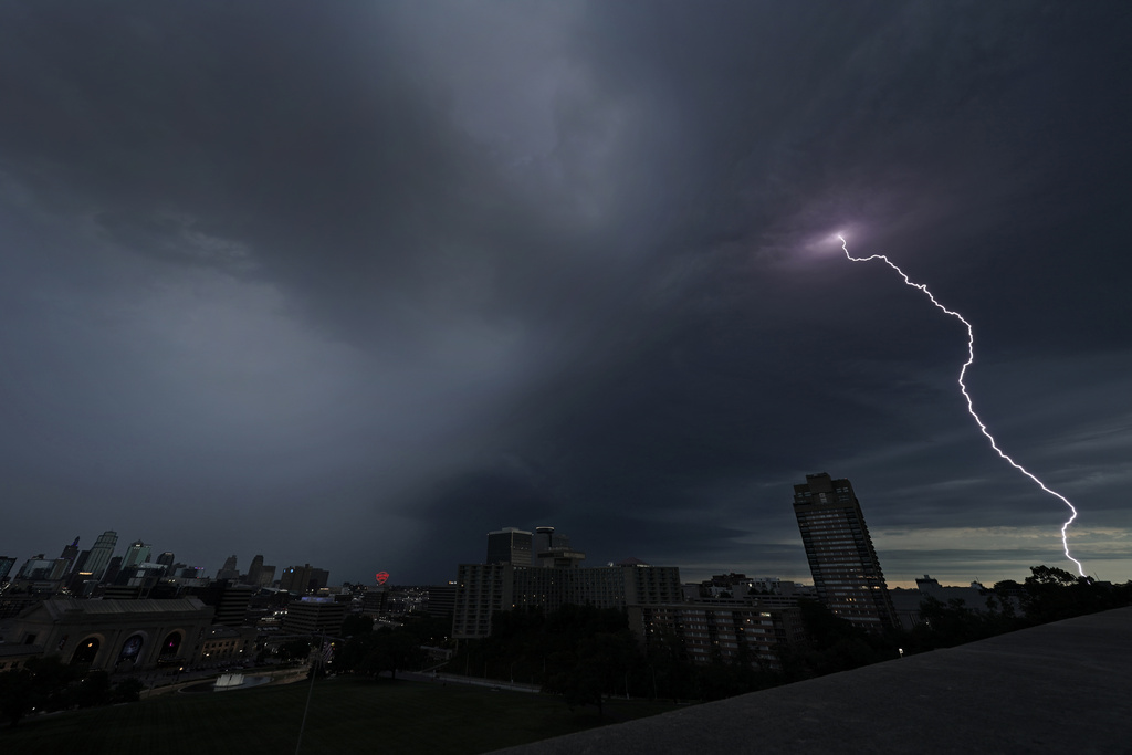
Tens of millions of Americans stretching from Lincoln, Nebraska, to Baltimore could face strong thunderstorms Monday night through Wednesday, with tornadoes possible in some states.
A large storm system hitting much of the central U.S. over the next few days is expected to bring severe thunderstorms to Kansas and Nebraska on Monday evening, the National Weather Service’s Storm Prediction Center said.
The two states could see strong tornadoes, too, while parts of Oklahoma, Missouri and Virginia face a slight risk.
Severe scattered thunderstorms are also expected to bring strong winds, hail and flash flooding.
WHAT AREAS ARE MOST AT RISK?
After moving through the Great Plains, NWS says the the storm system could move into the Mississippi Valley, Great Lakes and Ohio Valley areas on Tuesday and bring “severe weather and isolated flash flooding.”
Southern Iowa, Northern Missouri and Central Illinois face the largest threat of “significant hail and tornado potential,” on Tuesday the agency said.
The risk of tornadoes forming Monday evening over parts of Kansas and Nebraska will increase with the development of a few, discrete supercells, NWS said. Those are the tall, anvil-shaped producers of tornadoes and hail that have a rotating, powerful updraft of wind often lasting for hours.
WHEN IS TORNADO SEASON AND IS IT CHANGING?
May is generally considered the midpoint of tornado season, said Harold Brooks, a tornado scientist at the National Severe Storms Laboratory.
Brooks said late April to the middle of May is when the strongest tornadoes that cause fatalities usually appear.
“There’s a lot of uncertainty in those estimates,” Brooks added, because of how much each tornado season varies year to year.
Some scientists believe that over the past few decades, tornadoes in the U.S. have been shifting — with more spinning up in states along the Mississippi River and farther east. But scientists aren’t entirely sure why that’s happening.
One possible factor could be that the western Great Plains are getting drier thanks to climate change, said Joe Strus, a meteorologist with the National Weather Service, “and so your precipitation has shifted east a little bit.”
(AP)
 Join the official YWN WhatsApp status